
The National Highway Traffic Safety Administration estimates that 36,640 people died on U.S. roads in 2025, a 6.7% decrease from the 39,254 fatalities recorded in 2024. The fatality rate fell from 1.19 to 1.10 per 100 million vehicle miles traveled. That is progress, but road safety still demands sustained attention.
This is the practical case for intelligent transportation technology: fewer crashes, more predictable trips, and maintenance before equipment fails. For founders and civic teams, the useful question is not what is theoretically possible. It is which tools already have field results and what is realistic to pilot with an agency partner.
What intelligent transportation technology actually means
Intelligent transportation systems (ITS) add sensing, communication, and analysis to existing roads. The International Organization for Standardization identifies core components, including sensors, real-time analytics, connected devices, artificial intelligence, and large data sets. It also points to emerging standards such as ISO/TS 24315-1:2025.
Standards are essential because signal controllers, detection cameras, and central management platforms often come from different suppliers. Support for published interfaces can keep a successful pilot from becoming an isolated system that is difficult to expand. For a neutral industry reference, see an intelligent transportation system page.
Five safety tools with field results
- Vehicle-to-everything (V2X) warnings. The U.S. Department of Transportation lists more than 30 V2X applications, including red-light violation warnings, queue warnings, intelligent traffic signal control, commercial vehicle tools, and data collection. Technology selection now requires attention to timing. Under the rule published December 13, 2024, new 5.9 GHz ITS licenses authorize only cellular vehicle-to-everything (C-V2X) operations. Dedicated short-range communications (DSRC) registrations are no longer issued, and DSRC operations end on December 14, 2026.
- Adaptive signal control. These systems use real-time data to adjust signal timing and reduce delays. One before-and-after study across eight Florida corridors found an overall travel-time reduction of more than 9%. Results depend on the corridor, traffic patterns, and detection quality.
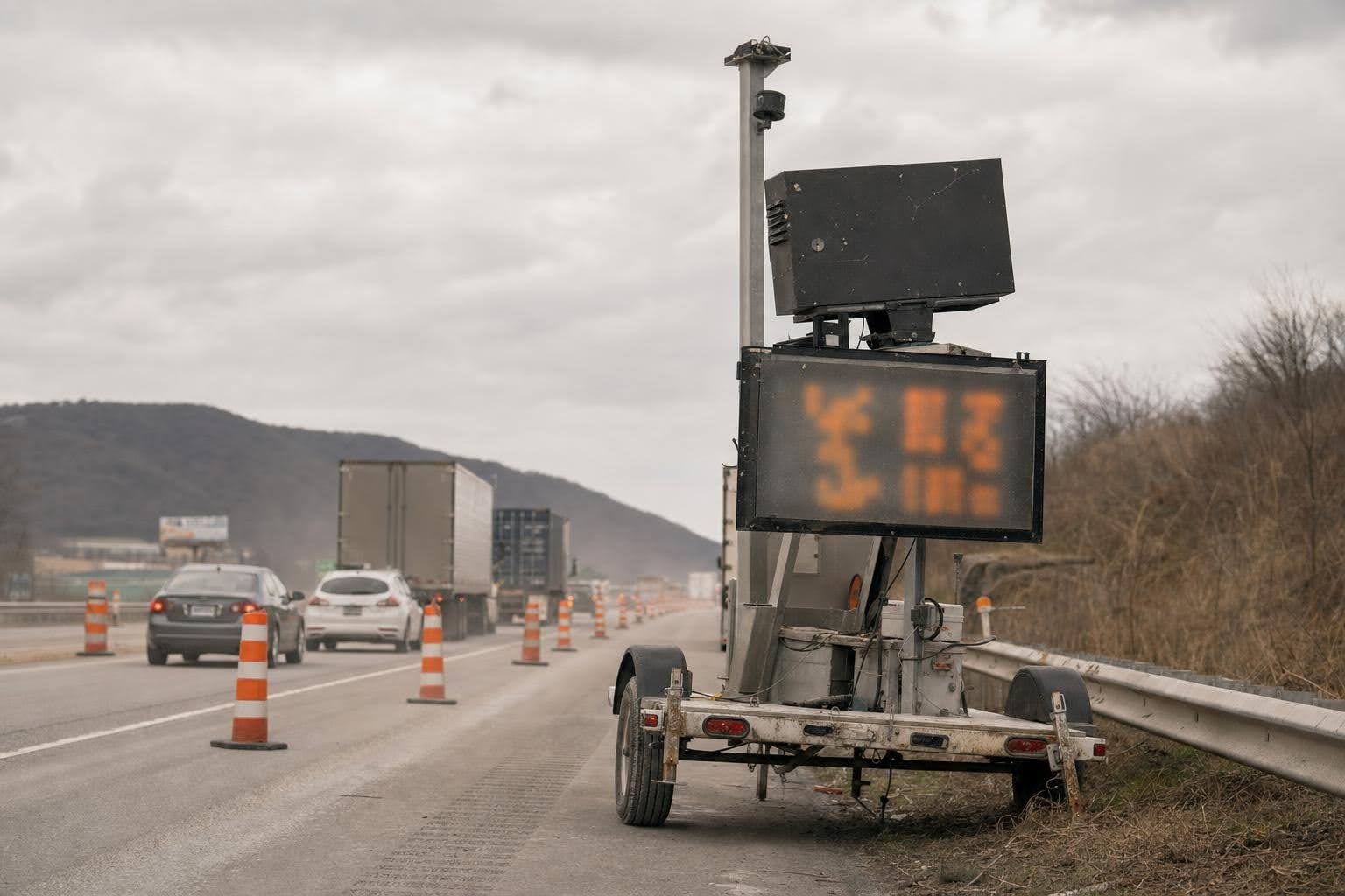
- Smart work zones. Queue detection and intrusion alerts warn drivers before they reach stopped traffic or an active work area. A portable queue-detection system in Nebraska reduced approach speeds by up to 7 mph at interstate work zones.
- Transit signal priority and emergency vehicle preemption. Transit priority can be conditional, such as activating only when a bus is behind schedule. This approach can improve bus reliability while limiting disruption to cross-street traffic. Preemption applies a similar principle to emergency vehicles.
- Intelligent speed management. Variable speed limits and school-zone warnings are easier to assess when agencies publish clear before-and-after data. Measurement helps shift the discussion from opinion to documented results.
Smarter operations beyond traffic signals
Signals receive much of the attention, but asset management can also deliver substantial value. Guidance from the ITS Knowledge Resources program notes that ITS can lower labor costs, reduce emergency repairs, and extend asset life. Drone inspections, automated sign inventories, and traffic-signal performance measures all support the same goal: understanding network conditions without relying only on manual inspections.
The 2026 funding and policy snapshot
Two federal programs have shaped many municipal pilots, but they are moving in different directions.
Safe Streets and Roads for All (SS4A) remains active. In fiscal year 2025, the program issued 521 awards totaling about $982 million, including 454 Planning and Demonstration grants and 67 Implementation grants. The Strengthening Mobility and Revolutionizing Transportation (SMART) program is in a different position. About $205 million in unobligated balances was reallocated under the 2026 appropriations, and no new funding notices are planned. Existing Stage 1 and Stage 2 SMART grants remain in force.
For connected-vehicle projects, the shift to C-V2X and the December 14, 2026 DSRC sunset mean agencies should specify C-V2X from the start. For a practical architecture example, see smart traffic platform architecture.
How to run a focused pilot
- Choose one measurable problem, such as rear-end crashes on a corridor, unreliable bus arrival times, or excessive work-zone speeds.
- Select a tool that fits the problem and local constraints rather than choosing the most advanced option available.
- Establish a baseline. Counts, speeds, conflicts, and arrival times collected before deployment make later findings more credible.
- Include interoperability and data governance in the contract. Address standards, data ownership, retention limits, cybersecurity, and transparency about what is collected.
- Deploy in phases. A temporary installation with defined success criteria can reduce the risk of a larger capital investment.
- Plan for expansion through regional architectures and consistent performance measures so the second corridor costs less to implement than the first.
Metrics worth reporting
| Metric | How to capture it | Why it matters |
|---|---|---|
| Corridor travel time | Probe or detector data collected before and after deployment | Allows comparison with published adaptive-signal studies |
| Work-zone approach speed | Portable speed sensors placed upstream of the work area | Measures a direct safety-related behavior |
| Near-miss conflicts | Video analytics at fixed locations | Shows potential change without waiting for crash data |
| Bus headway adherence | Automatic vehicle location records | Connects signal priority with rider experience |
Where to look next
Before committing funds, check integration with existing signal controllers and management software, data ownership terms, cybersecurity practices, and alignment with recognized transportation and procurement standards. Ask for a staffing and training plan because operational gaps can stall a pilot even when the hardware works as intended.
The USDOT V2X application list and public evaluation databases are useful neutral starting points. On the supplier side, Hanwha Vision publishes a transportation-industry page with region-specific information. It offers one example of how a visual technology vendor organizes transportation products and applications, which teams can compare with materials from other manufacturers.
Safer, more efficient streets do not require an all-or-nothing project. They require a clearly defined problem, a suitable tool, an honest baseline, and governance terms established before the first sensor is installed.